Polar philately
Arctic
Watkins Mountains Expedition Phase II - 1971
This expedition was an Anglo-Danish mountain survey expedition of the Watkins Mountains - which is a group of nunataks in the hinterland of the perilous and hard-to-access Blosseville coast in Greenland's easter side. The expedition was an extension of a previous expedition led by Alastair Allan two years earlier. The earlier expedition met severe difficulties with extremely difficult weather conditions and the expedition members actually made it out alive by miraculous luck after traversing severely weakened and wet in white-out conditions blindly for two weeks towards their designated rendezvous point with their support boat 'Entalik'. The expedition's aim was to climb the Ejnar Mikkelsens Fjeld (3261 m) but they didn't make it having encountered some of the roughest weather conditions in a century. A Scottish team led by Andrew Ross ascented the mountain succesfully in 1970.
Alastair Allan tried again in 1971 and this time with a crew of four other men: British geologist David Matthews, a Dane deputy leader Vagn Bjerne Christensen, a Dane radio-operator Torben Eriksen and a Dane physicist Steen Morup. The expedition departed from England on 10.7.1971 via a charter plane. The crew went from Iceland's Reykjavik airport to Kulusuk Island and further to Ammassalik Island. From Ammassalik they embarked a ice-reinforced motor cutter (aptly named Ejnar Mikkelsen) which took them to a remote Danish weather station in Nordre Aputiteq Island. At the time the weather station had a crew of seven men and the arrival of the expedition was the first ship they welcomed in about a year! The station was operational between 1949 and 1979. The expedition crew spent three days in the motor cutter and prepared a batch of 3000 postcards signed with their names on the them. This effort was part of the funding of the expedition. The letters were then off-loaded and processed in the weather station's mail room. Upon returning from the expedition the postcards received an additional red inked three-line stamping (inside the blue expedition cachet) indicating that the expedition had succesfully climbed the highest mountain peak in the Arctic. Upon their return the cards were flown to England and Denmark from the Ammassalik Island to their respective recipients. However, for unknown reasons a few hundred cards sent to Denmark were left without the red inked extra stamping. Also of note is that some cards have a 60+10 øre postage stamp but most have a 60 øre one. This was due to the fact that there just weren't enough of the surcharged stamps to cover the whole lot. The mail stamp was also incorrectly set-up and the "Aputiteq" cancellation has a "." between the number indicating the year 1971.
The mission focused on scientific observations (geology, glaciology and meteorology) but also on ascenting Gunnbjørn Fjeld nunatak. The nunatak is the highest mountain peak of Greenland north of the Arctic Circle with a height reaching to 3733 metres above sea level. The expedition became the second team to ascent the highest peak the first being a British-Danish expedition in 1935. The expedition met almost all of their goals and returned at the end of August.
The below postcard is one of the 3000 cards signed by the expedition members. It is lacking the red-inked stamping that was to be put inside the expedition's blue cachet.
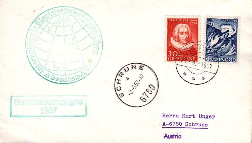
Internationale Glaziologische Grönland Expedition 1967
Grønlandsekspeditionen 1969

1963 Scottish East Greenland Expedition
Led by Dr. Philip Gribbon from St.Andrew's university in Scotland, this expedition gathered together eight academic mountaineers from two Scottish universities. Their expedition had several targets: cartography, glasiological studies and climbing summits no one had ever climbed before. The expedition was slated to last nine weeks and their journey started from Renfrew where they flew to Reykjavik in Iceland in 3rd July of 1960. When weather cleared they flew to Kulusuk airport with a chartered DC-3. Kulusuk airport was built by United States' military in 1956 to support one of their DYE stations. From there the expedition packed themselves and their 1200 kilograms of equipment to a Danish ship 'Aarvak' that transported them to Angmagssalik in East Greenland mainland. After they had established their base camp, they started their journey in July 10th but it was quickly discovered that their current plan was not enough for them to reach Quervains Bjorg which was a massive nunatak and one of their primary targets. Reaching it would have required a forward camp but nevertheless they had a multitude of vital scientific targets to reach as well.
The expedition climbed Pointe de Harpon as first humans ever and also climbed 21 nunatak summits that were yet to be even named as there were no maps of the area in existence. They also later named many of these and created a slew of topographical maps of the area. They also found an alternate route to Rytterknægten which was the highest summit of the Caledonia mountain group. Gribbon was an enthusiastic explorer of Greenland and led this expedition to a success. They attained their most important scientific targets and spent the final week of the nine-week journey in Angmagssalik finalizing their reports. The cover below was stamped during this final week and was signed by a technics student Jock Anderson who was the deputy leader of the expedition. The expedition flew back to Iceland in 6th of September.

Antarctic
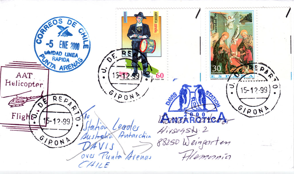
Davis Station